

Shankill Road, Belfast
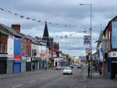
The Shankill Road is the arterial spine of West Belfast, stretching approximately 1.5 miles (or 2.4 kilometres) from the city centre towards the Woodvale area. Its name derives from the Irish Seanchill, meaning “old church”, a reference to an early Christian church traditionally believed to have been established here in the 5th century. Today, the thoroughfare offers a vivid portrait of working-class loyalist life, lined with shops, schools, churches and local services serving the surrounding community.
Once a major 19th-century linen-producing area, the Shankill expanded rapidly during Belfast’s industrial boom. The importance of the linen trade can still be traced in street names associated with Belgium and Flanders, where much of the flax used by Belfast’s mills was grown. The Shankill later became a centre of loyalist activity during the Troubles. Loyalist paramilitary organisations, including the Ulster Volunteer Force (or UVF), were active in the area, while the 1993 bombing of Frizzell’s fish shop marked one of its most tragic chapters.
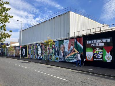
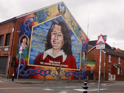
Visitors will notice colourful murals and peace lines along and around the route, providing reminders of the area’s turbulent recent history. The historic Shankill Graveyard, whose origins stretch back more than a millennium, marks the site of the old church from which the area takes its name. Nearby memorials also commemorate local servicemen, including members of the 36th Division, which suffered devastating losses during the Battle of the Somme.
Once a major 19th-century linen-producing area, the Shankill expanded rapidly during Belfast’s industrial boom. The importance of the linen trade can still be traced in street names associated with Belgium and Flanders, where much of the flax used by Belfast’s mills was grown. The Shankill later became a centre of loyalist activity during the Troubles. Loyalist paramilitary organisations, including the Ulster Volunteer Force (or UVF), were active in the area, while the 1993 bombing of Frizzell’s fish shop marked one of its most tragic chapters.
Visitors will notice colourful murals and peace lines along and around the route, providing reminders of the area’s turbulent recent history. The historic Shankill Graveyard, whose origins stretch back more than a millennium, marks the site of the old church from which the area takes its name. Nearby memorials also commemorate local servicemen, including members of the 36th Division, which suffered devastating losses during the Battle of the Somme.
Want to visit this sight? Check out these Self-Guided Walking Tours in Belfast. Alternatively, you can download the mobile app "GPSmyCity: Walks in 1K+ Cities" from Apple App Store or Google Play Store. The app turns your mobile device to a personal tour guide and it works offline, so no data plan is needed when traveling abroad.
Download The GPSmyCity App



Shankill Road on Map
Sight Name: Shankill Road
Sight Location: Belfast, Ireland (See walking tours in Belfast)
Sight Type: Attraction/Landmark
Guide(s) Containing This Sight:
Sight Location: Belfast, Ireland (See walking tours in Belfast)
Sight Type: Attraction/Landmark
Guide(s) Containing This Sight:
Nearby Sights
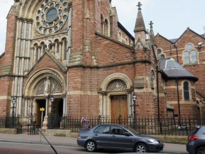
Walking Tours in Belfast, Ireland
Create Your Own Walk in Belfast
Creating your own self-guided walk in Belfast is easy and fun. Choose the city attractions that you want to see and a walk route map will be created just for you. You can even set your hotel as the start point of the walk.
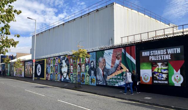
The Troubles and Peace Process Landmarks
For almost three decades, Belfast was at the centre of the Troubles, a conflict that profoundly shaped Northern Ireland and left lasting marks on the city. Although its roots stretch much further back, the Troubles are generally dated from the late 1960s to the Good Friday Agreement of 1998.
At the heart of the conflict were competing visions of Northern Ireland’s future. Unionists and... view more
Tour Duration: 1 Hour
Travel Distance: 2.1 Km or 1.3 Miles
At the heart of the conflict were competing visions of Northern Ireland’s future. Unionists and... view more
Tour Duration: 1 Hour
Travel Distance: 2.1 Km or 1.3 Miles
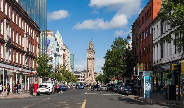
Belfast Introduction Walking Tour
Clive Staples Lewis, the author behind the hugely successful Chronicles of Narnia series, was born in Belfast in 1898. The city and the surrounding landscapes of Northern Ireland proved crucial in shaping his imagination and the fantastical worlds he would later create.
Sitting on the River Lagan near where it meets the Irish Sea, Belfast's name comes from the Irish Béal Feirste, meaning... view more
Tour Duration: 2 Hours
Travel Distance: 3.8 Km or 2.4 Miles
Sitting on the River Lagan near where it meets the Irish Sea, Belfast's name comes from the Irish Béal Feirste, meaning... view more
Tour Duration: 2 Hours
Travel Distance: 3.8 Km or 2.4 Miles
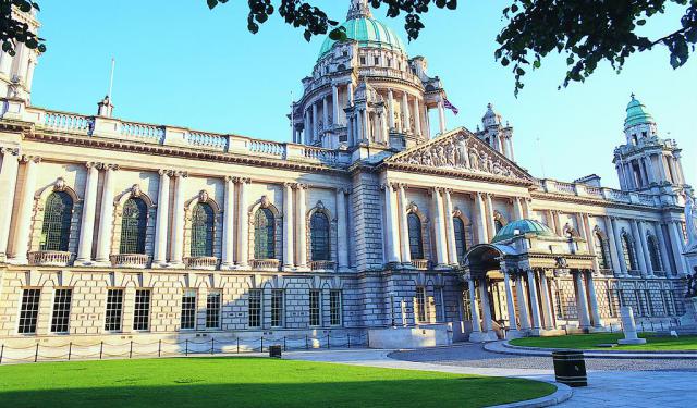
Belfast Victorian Architecture Jewels
Described as “modestly scaled, undemonstrative, somewhat solid in aspect, and usually restrained (sometimes even austere) in its use of external decoration”, the urban landscape of Belfast has been influenced by the demands of shipbuilding and linen industry, much as transitioning between culture, arts, commerce, and education. Still, the architectural spectrum of the city is quite broad and... view more
Tour Duration: 2 Hours
Travel Distance: 2.9 Km or 1.8 Miles
Tour Duration: 2 Hours
Travel Distance: 2.9 Km or 1.8 Miles