

Mazatlan Introduction Walking Tour (Self Guided), Mazatlan
American poet Bayard Taylor did not mince words when he described Mazatlán as the "gayest and liveliest little city.” The name Mazatlán comes from the Nahuatl word meaning “place of deer,” and its history stretches back many centuries before it became the coastal city we see today. Indigenous groups such as the Totorames lived along the coast and in nearby valleys, farming maize, beans, and squash while hunting the deer that gave the region its name. Spanish explorers arrived in the 16th century, but the settlement remained minor, overshadowed by larger ports such as Acapulco. Its wide bay and sheltered harbor, however, were too important to remain overlooked forever.
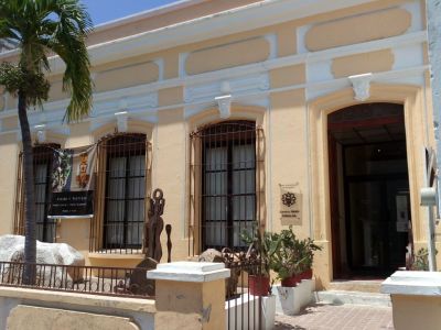
By the early 19th century, European interest in Mazatlán grew. German merchants, drawn to its location on the Pacific, settled here and left a lasting mark on local trade and culture. They helped transform Mazatlán into a hub for importing goods and exporting minerals and agricultural products from the interior of Sinaloa. Their influence is still visible today in some of the city’s architecture, breweries, and music-particularly in the popularity of banda, whose brassy sound echoes those German roots.
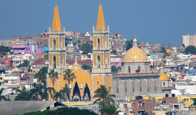
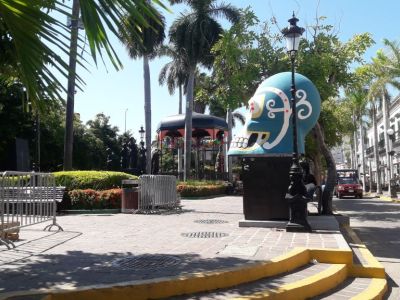
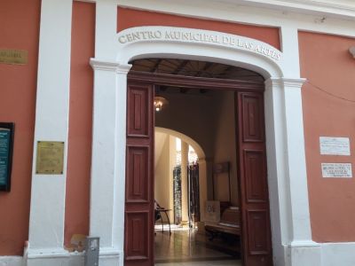
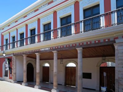
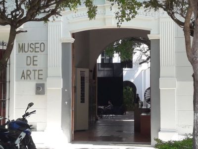
The late 19th century marked a period of prosperity, and with prosperity came cultural ambition. In 1874, the Ángela Peralta Theater was inaugurated, named after the celebrated Mexican soprano who tragically died in Mazatlán during a yellow fever outbreak. The theater symbolized the city’s desire to connect with global artistic life, and today it stands restored as a reminder of those aspirations. Around the same period, the central Machado Square emerged as a civic and cultural heart, framed by neoclassical buildings that hosted social gatherings and political debates.
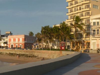
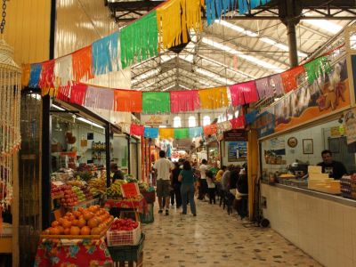
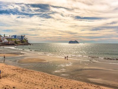
The early 20th century brought both challenges and changes. The Mexican Revolution of the 1920s disrupted life and trade, but Mazatlán retained its role as a maritime link. By the 1940s and 1950s, attention shifted toward tourism, and Mazatlán promoted itself as the “Pearl of the Pacific,” with long beaches that drew visitors from Mexico and abroad. The Malecón-one of the world's longest boardwalks-became both a promenade and a stage where locals and tourists could watch the sun set into the Pacific. Carnival celebrations flourished here as well, growing into one of Latin America’s largest and cementing the city’s reputation for music, dance, and festivity.
The same city that once captivated a poet still dazzles today, blending centuries of tradition with a spirit of reinvention. As you explore Mazatlán, every step reveals a different layer-from echoes of Indigenous life to German-influenced music, from neoclassical theaters to sunlit boardwalks. This is more than a seaside stroll: it’s a journey through the “place of deer” that grew into the “Pearl of the Pacific.”
By the early 19th century, European interest in Mazatlán grew. German merchants, drawn to its location on the Pacific, settled here and left a lasting mark on local trade and culture. They helped transform Mazatlán into a hub for importing goods and exporting minerals and agricultural products from the interior of Sinaloa. Their influence is still visible today in some of the city’s architecture, breweries, and music-particularly in the popularity of banda, whose brassy sound echoes those German roots.
The late 19th century marked a period of prosperity, and with prosperity came cultural ambition. In 1874, the Ángela Peralta Theater was inaugurated, named after the celebrated Mexican soprano who tragically died in Mazatlán during a yellow fever outbreak. The theater symbolized the city’s desire to connect with global artistic life, and today it stands restored as a reminder of those aspirations. Around the same period, the central Machado Square emerged as a civic and cultural heart, framed by neoclassical buildings that hosted social gatherings and political debates.
The early 20th century brought both challenges and changes. The Mexican Revolution of the 1920s disrupted life and trade, but Mazatlán retained its role as a maritime link. By the 1940s and 1950s, attention shifted toward tourism, and Mazatlán promoted itself as the “Pearl of the Pacific,” with long beaches that drew visitors from Mexico and abroad. The Malecón-one of the world's longest boardwalks-became both a promenade and a stage where locals and tourists could watch the sun set into the Pacific. Carnival celebrations flourished here as well, growing into one of Latin America’s largest and cementing the city’s reputation for music, dance, and festivity.
The same city that once captivated a poet still dazzles today, blending centuries of tradition with a spirit of reinvention. As you explore Mazatlán, every step reveals a different layer-from echoes of Indigenous life to German-influenced music, from neoclassical theaters to sunlit boardwalks. This is more than a seaside stroll: it’s a journey through the “place of deer” that grew into the “Pearl of the Pacific.”
How it works: Download the app "GPSmyCity: Walks in 1K+ Cities" from Apple App Store or Google Play Store to your mobile phone or tablet. The app turns your mobile device into a personal tour guide and its built-in GPS navigation functions guide you from one tour stop to next. The app works offline, so no data plan is needed when traveling abroad.
Download The GPSmyCity App
Mazatlan Introduction Walking Tour Map
Guide Name: Mazatlan Introduction Walking Tour
Guide Location: Mexico » Mazatlan (See other walking tours in Mazatlan)
Guide Type: Self-guided Walking Tour (Sightseeing)
Tour Duration: 2 Hour(s)
Travel Distance: 3.0 Km or 1.9 Miles
Guide Location: Mexico » Mazatlan (See other walking tours in Mazatlan)
Guide Type: Self-guided Walking Tour (Sightseeing)
Tour Duration: 2 Hour(s)
Travel Distance: 3.0 Km or 1.9 Miles
Sights Featured in This Walk
The Most Popular Cities
/ view all